Training in geographic information systems (GIS) and other geospatial technologies is becoming a required qualification for technician-level jobs in forestry, wildlife, fisheries, recreation, and water resources. Regionally, employment for environmental science and protection technicians is expected to grow at a rate of 3.29 percent between 2020 and 2025; three times as fast as the average for all occupations in the region (Employment Security Department 2016).
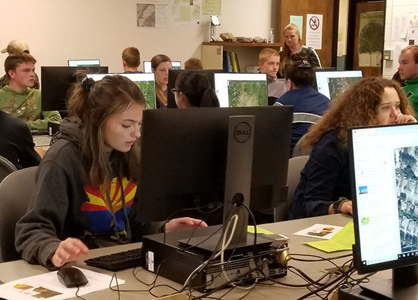 The Northeast Washington Geospatial Environmental Technician Education Project (NWGETEP) is a partnership between Spokane Community College and public schools within our rural service district designed to train and support educators as they implement geospatial technologies in the classroom. NWGETEP provides professional development, mentoring, and curriculum support within a regionally relevant workforce-oriented context. Through this support and training, educators introduce students to geospatial concepts and expose them to relevant career pathways.
SCC’s program provides professional development centered in geospatial concepts and fundamental geographic information system (GIS) skills and applications to a cohort of rural high school teachers and college instructors from SCC’s rural centers. An example is teacher Dan Walker, from our partner school in Oakesdale, who designed a class around SCC’s Introduction to GIS course. Students enrolled in the year-long high school class take our 5-credit Introduction to GIS course as a 12-week embedded component. The students earn college credit and fulfill requirements for high school graduation.
The Northeast Washington Geospatial Environmental Technician Education Project (NWGETEP) is supported by grant #1800981 from the National Science Foundation’s Advanced Technological Education Program (NSF 17-568).